
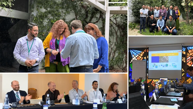
The 6th International Multidisciplinary Conference for Young Researchers (MCYR), hosted on 9–10 October 2025 by the BioResources and Technology Division (BRT) at the Faculty of Tropical AgriSciences (FTZ), Czech University of Life Sciences Prague (CZU), brought together emerging scientists from across the globe for two days of exchange, collaboration, and interdisciplinary insight. Centered on the theme “Science and Innovation: Advancing the Path to a Sustainable Future,” the conference provided a space for early-career researchers to present their work and reflect on how scientific innovation can create real-world impact.
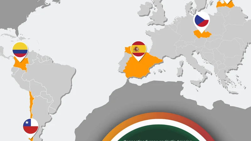
Within this vibrant setting, the MCYR 2025 Storytelling Competition – “Your Research, Your Story” invited participants to reimagine their abstracts as compelling narratives linked to one of four European research projects co-organisers of the conference: COMUNIDAD, OSIRIS, BIO-CAPITAL, and AgriSci-UA.
In the category COMUNIDAD: Geospatial Intelligence for Community Resilience, Anxhela Hameti from the Department of Agroecology and Crop Production, Faculty of Agrobiology, Food and Natural Resources, CZU was recognised for her outstanding submission, “Exploring Land Use Changes in Albanian Coastal Wetlands Through Remote Sensing.” Her story masterfully demonstrates how satellite data, remote sensing, and spatial analysis can reveal environmental transformations and guide community-level decision-making. The winning narrative brings the COMUNIDAD mission to life by illustrating the power of geospatial intelligence to support resilience in landscapes facing mounting climate and ecological pressures.
Read her full story below.
Hello! My name is Anxhela Hameti, and I am a second-year PhD student at the Czech University of Life Sciences Prague. My research focuses on Albania’s coastal wetlands, unique ecosystems that host rich biodiversity and provide essential services to local communities. These wetlands, including areas like the Narta Lagoon, Divjaka-Karavasta, and Butrint, are under increasing pressure from agriculture, urban expansion, and climate change. I am interested in exploring how satellite technology and GIS can help us monitor these changes and support sustainable management.
Coastal wetlands are vital for nature and people. They act as natural buffers against flooding, store carbon, and provide habitats for countless species. At the same time, local communities rely on them for fishing, grazing, and freshwater resources. Unfortunately, agricultural expansion, especially maize cultivation, combined with infrastructure development and rising temperatures, threatens the health of these ecosystems. Understanding how human activities and climate interact to affect wetlands is crucial for protecting both nature and livelihoods.
To study these changes, I use satellite remote sensing and GIS analysis. By examining multi-year satellite images and vegetation indices like NDVI (Normalised Difference Vegetation Index), I can track changes in vegetation, detect areas impacted by agriculture, and monitor wetland dynamics over time. Combining satellite data with field observations provides a more complete picture, helping to identify which areas are most sensitive or vulnerable to change. I also incorporate climate data to see how rainfall and temperature trends may influence wetland resilience.
Even though I am still in the early stages of my PhD, preliminary observations have revealed interesting patterns. For example, satellite imagery shows fluctuations in vegetation density in certain lagoons, which may correspond with seasonal farming activities. Mapping these patterns visually allows us to understand where interventions or conservation efforts could be most effective. While I do not yet have final conclusions, the approach demonstrates how modern technology can make invisible changes visible, guiding future research and management decisions.
My goal is to bridge science and local impact. By visualising land use changes and wetland trends, I hope to provide useful information to policymakers, conservation organisations, and local communities. This can help balance agricultural needs with environmental protection and ensure that Albania’s coastal wetlands continue to provide ecological, economic, and social benefits.
In short, my story is about discovering and understanding the dynamic landscapes of coastal wetlands. Using satellites and GIS, I aim to reveal patterns that are often invisible from the ground and inspire actions that support both nature and people. Even as a second-year PhD student, I am excited about the potential of this research to make a meaningful difference for these fragile ecosystems.
Missed MCYR 2025? Relive the key moments and event highlights
We invite you to watch the MCYR 2025 Recap Video, where you can step inside this annual international conference for early-career scientists, featuring keynotes, project insights, and participant perspectives.
View the recap video HERE.
Then, explore the MCYR Photo Album to revisit the sessions, posters, lab tours, and networking moments that marked this year’s edition and its interdisciplinary spirit.
Fligh through the photo album HERE.
Join MCYR 2026!
The annual International Multidisciplinary Conference for Young Researchers (MCYR) will once again take place at the Faculty of Tropical AgriSciences (FTZ), Czech University of Life Sciences Prague (CZU). MCYR 2026 will be held on 8–9 October 2026 under the theme “Research Innovation to Action: Pathways Toward Resilience in a Risk-Prone World”.
For more information, visit the MCYR conference website HERE.
Stay tuned for insights from other consortium members and follow us on social media for regular updates on the COMUNIDAD project's outcome.
Existing Comments