Click here to view the English version.
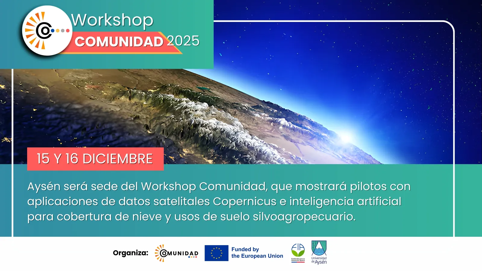
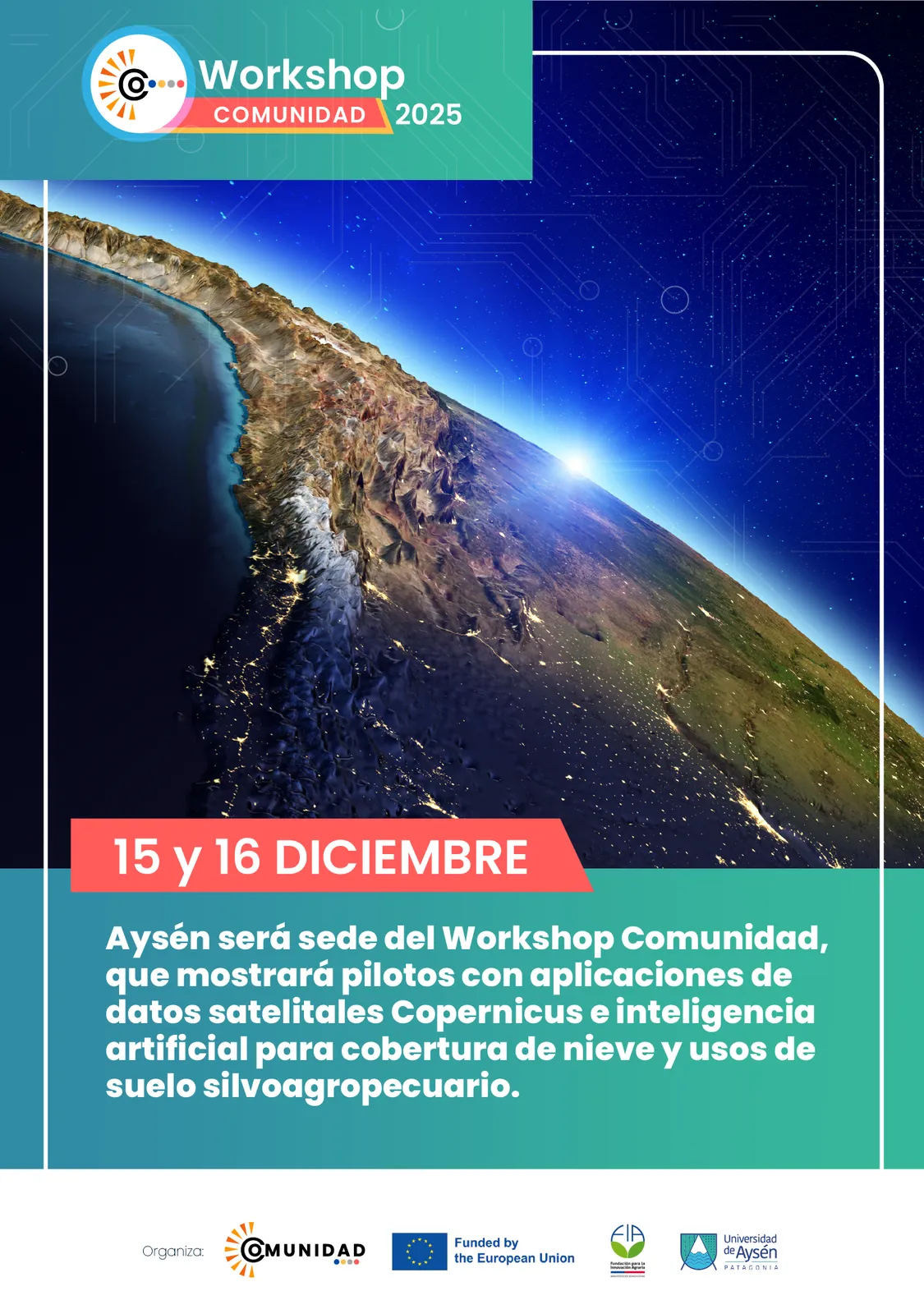
Aysén será sede del Workshop Comunidad, que mostrará pilotos con aplicaciones de datos satelitales Copernicus e inteligencia artificial para cobertura de nieve y usos de suelo silvoagropecuario
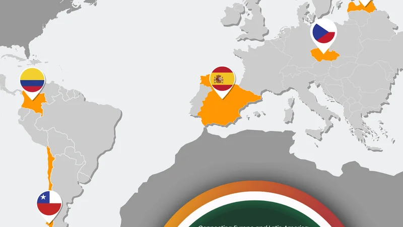
Entre el 14 y el 18 de diciembre se realizará en Coyhaique el “Comunidad Project Workshop 2025”, instancia liderada por el consorcio del Proyecto COMUNIDAD, iniciativa del programa Horizon de la Agencia de la Unión Europea para el Programa Espacial (UESPA) que vincula capacidades satelitales europeas con aplicaciones territoriales en América Latina. El consorcio conformado por cinco países, República Checa, Letonia, Colombia, España y Chile, estará presente en la Región de Aysén con un grupo de expertos multidisciplinares en el uso de datos geoespaciales.
El workshop tendrá como foco principal presentar y aterrizar en la región los resultados obtenidos en el último año de implementación del proyecto, mediante la validación de la Plataforma Comunidad, la demostración de pilotos desarrollados para la Patagonia chilena y la transferencia tecnológica hacia instituciones regionales. “El objetivo del workshop comunidad se concentra principalmente en hacer una devolución y una bajada de los resultados en la implementación del proyecto comunidad durante el último año. En esta oportunidad queremos mostrar a actores claves cuáles son los posibles pilotos o casos de uso que se dan alrededor de la utilización de datos satelitales copernicus, a partir de la implementación de algoritmos de inteligencia artificial en la Patagonia chilena”, señala Johnny Valencia, coordinador del Proyecto Comunidad en Chile.
Durante el desarrollo del workshop se presentará el funcionamiento de la plataforma tecnológica, sus herramientas y el acceso a datos, junto con los resultados de las dos hackatones realizadas durante el año 2025 (tanto en Colombia como en Chile) y de los pilotos en Chile asociados a cobertura de nieve y usos de suelo silvoagropecuario. De esta manera, señala Johnny Valencia, se busca presentar la plataforma, acceder a los datos, además de dar cuenta de quiénes pueden usarla, qué tipos de herramientas están habilitadas, entre otras funcionalidades.
Uno de los objetivos de este workshop será la transferencia tecnológica desde el consorcio europeo hacia la región de Aysén. El proyecto contempla la posibilidad de que una institución chilena interesada, y con la infraestructura necesaria, pueda implementar una réplica de la plataforma, con acompañamiento en la instalación y su puesta en marcha. Junto con ello, se desarrollarán actividades de capacitación para personas que trabajan con datos satelitales, ordenamiento territorial y planificación regional. Esta iniciativa es liderada en Chile por la Fundación para la Innovación Agraria FIA y la Universidad de Aysén, quienes de manera estratégica abordan desafíos territoriales a través de la colaboración internacional en una apuesta por la aplicación de la ciencia para la democratización de la información y el uso de inteligencia artificial.
Finalmente, Valencia destacó diversas posibilidades que entrega este proyecto para la región. “La relevancia de incorporar a la región en este proyecto tiene que ver con cómo
hacemos uso de datos y algoritmos que están entrenados localmente, digo localmente porque se usaron datos regionales para entrenar los algoritmos y a partir de ese entrenamiento podemos obtener otro tipo de categorías o clasificaciones o resultados que se ajustan al contexto y a las necesidades regionales”, enfatizó el coordinador del proyecto.
De esta manera, la agenda de esta jornada tecnológica considera reuniones con el Gobierno Regional de Aysén, la Universidad de Aysén, instituciones del ecosistema de ciencia, tecnología e innovación y actores del desarrollo productivo; además, finalizará con un Gran Foro Abierto a la comunidad interesada en el uso de datos geoespaciales y aplicaciones de inteligencia artificial, que se realizará el próximo martes 16 de diciembre desde las 15:00 horas en el Auditorio MOP en Coyhaique.
Haz clic aquí para ver la versión en español.
Press Release
Aysén to Host the Comunidad Workshop, Showcasing Pilots Using Copernicus Satellite Data and Artificial Intelligence for Snow Cover and Silvo-Agricultural Land Use
Between 14 and 18 December, the Comunidad Project Workshop 2025 will take place in Coyhaique. The event is led by the COMUNIDAD Project consortium, an initiative of the Horizon programme of the European Union Agency for the Space Programme (EUSPA), which links European satellite capabilities with territorial applications in Latin America. The consortium, made up of five countries, the Czech Republic, Latvia, Colombia, Spain and Chile, will be present in the Aysén Region with a multidisciplinary team of experts specialising in the use of geospatial data.
The main focus of the workshop will be to present and contextualise within the region the results achieved during the last year of project implementation. This will be done through the validation of the Comunidad Platform, the demonstration of pilots developed for Chilean Patagonia, and the transfer of technology to regional institutions. “The objective of the Comunidad workshop is mainly to provide feedback and bring down to the territorial level the results of the project’s implementation over the last year. On this occasion, we want to show key stakeholders the possible pilots or use cases related to the use of Copernicus satellite data, based on the implementation of artificial intelligence algorithms in Chilean Patagonia,” explains Johnny Valencia, Coordinator of the Comunidad Project in Chile.
During the workshop, the operation of the technological platform will be presented, including its tools and data access, together with the results of the two hackathons held during 2025 (in Colombia and Chile), as well as the pilots in Chile related to snow cover and silvo-agricultural land use. In this way, Valencia notes, the aim is to present the platform, access the data, and explain who can use it, what types of tools are enabled, and other available functionalities.
One of the key objectives of the workshop will be the transfer of technology from the European consortium to the Aysén Region. The project includes the possibility for an interested Chilean institution, with the necessary infrastructure, to implement a replica of the platform, with support for installation and start-up. In addition, training activities will be carried out for professionals working with satellite data, territorial planning and regional development. In Chile, this initiative is led by the Foundation for Agricultural Innovation (FIA) and the University of Aysén, which strategically address territorial challenges through international collaboration, with a strong commitment to applying science for the democratisation of information and the use of artificial intelligence.
Finally, Valencia highlighted the various opportunities that this project offers to the region. “The relevance of incorporating the region into this project has to do with how we make use of data and algorithms that are trained locally. I say locally because regional data were used to train the algorithms, and from that training we can obtain different types of categories, classifications or results that are better adjusted to the regional context and needs,” emphasised the project coordinator.
Accordingly, the agenda of this technological event includes meetings with the Regional Government of Aysén, the University of Aysén, institutions from the science, technology and innovation ecosystem, and actors involved in productive development. The programme will conclude with a Grand Open Forum for the community interested in the use of geospatial data and artificial intelligence applications, which will take place on Tuesday 16 December at 3:00 p.m. at the MOP Auditorium in Coyhaique.
Existing Comments